Department of Cartography and Geomatics

Department of Cartography and Geomatics
Faculty of Geographical and Geological Sciences
Institute of Physical Geography and Environmental Planning
Polish
Welcome to the Department of Cartography and Geomatics
Department of Cartography and Geomatics was established on February 1, 2010. The Department's operations are based on scientific research related to cartography, geomatics, topography, geodesy and geomedia, as well as on teaching classes in this field. We teach on the engineer-degree of Geodesy and Cartography and the master's degree in Cartography and Geomatics.
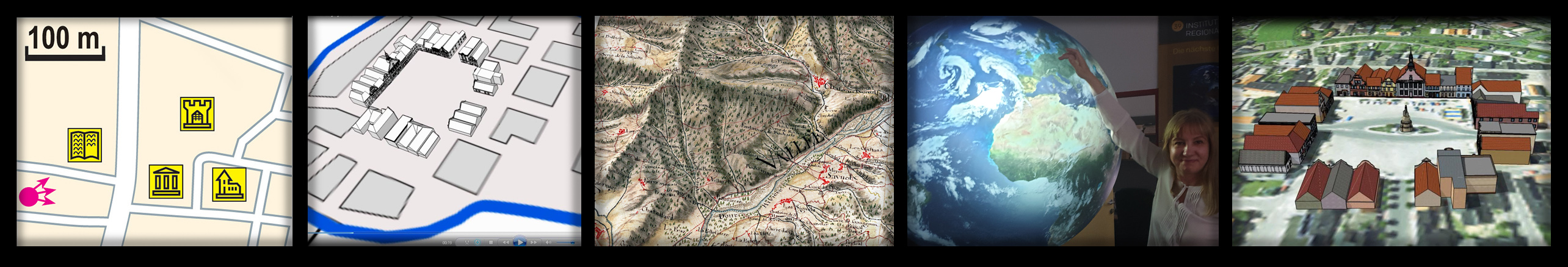
We conduct several research areas. Our important area is the geomatic basis for acquiring and managing spatial data as part of the geomatic process. We focus on acquiring data using desktop and sensory methods, e.g. official databases, point clouds, scanning, LIDAR, drones, DTM, GIS/GPS mapping.
Another direction is cartographic visualization and geovisualization of spatial accessibility and spatial behavior. This includes conducting user studies to assess the effectiveness, efficiency and usability of maps and geovisualization. We also deal with animated cartography and the representation of dynamic spatial-temporal data. In developing the principles of cartographic design, we use empirical research in the field of map and geovisualization perception (eyetracking, online surveys).
The important area of our activity is immersive geovisualization – related to augmented reality AR and virtual reality VR and their application to the representation of geographic space. We create spatial models in topographic virtual reality.
We are also interested in game cartography in the context of mini-map design and creating city games. Based on the game engine, we create immersive reconstructions in virtual cultural heritage for medieval stronholds and historical fortresses. We also deal with the history of cartography, in particular the issue of the development and evolution of cartographic principles and pragmatics.
Many of our projects involve interdisciplinary research: geomedia in social media (social communication and media studies), pretentious attributes of dynamic point symbols in quantitative mapping (psychology); topographic manucrcipt works (art history); windmills in historical topography (economic history), retrogressive land use method for detecting permanent and changeable forest, meadow and wetland areas (ecology).
Beata Medyńska-Gulij with Team
Our topics

|

|
Beata Medyńska-Gulij, David Forrest and Paweł Cybulski: Multimedia Cartography 2022, MDPI, Basel, 276. ISBN 978-3-0365-3680-4 (Hbk) ISBN 978-3-0365-3679-8 (PDF) |
|
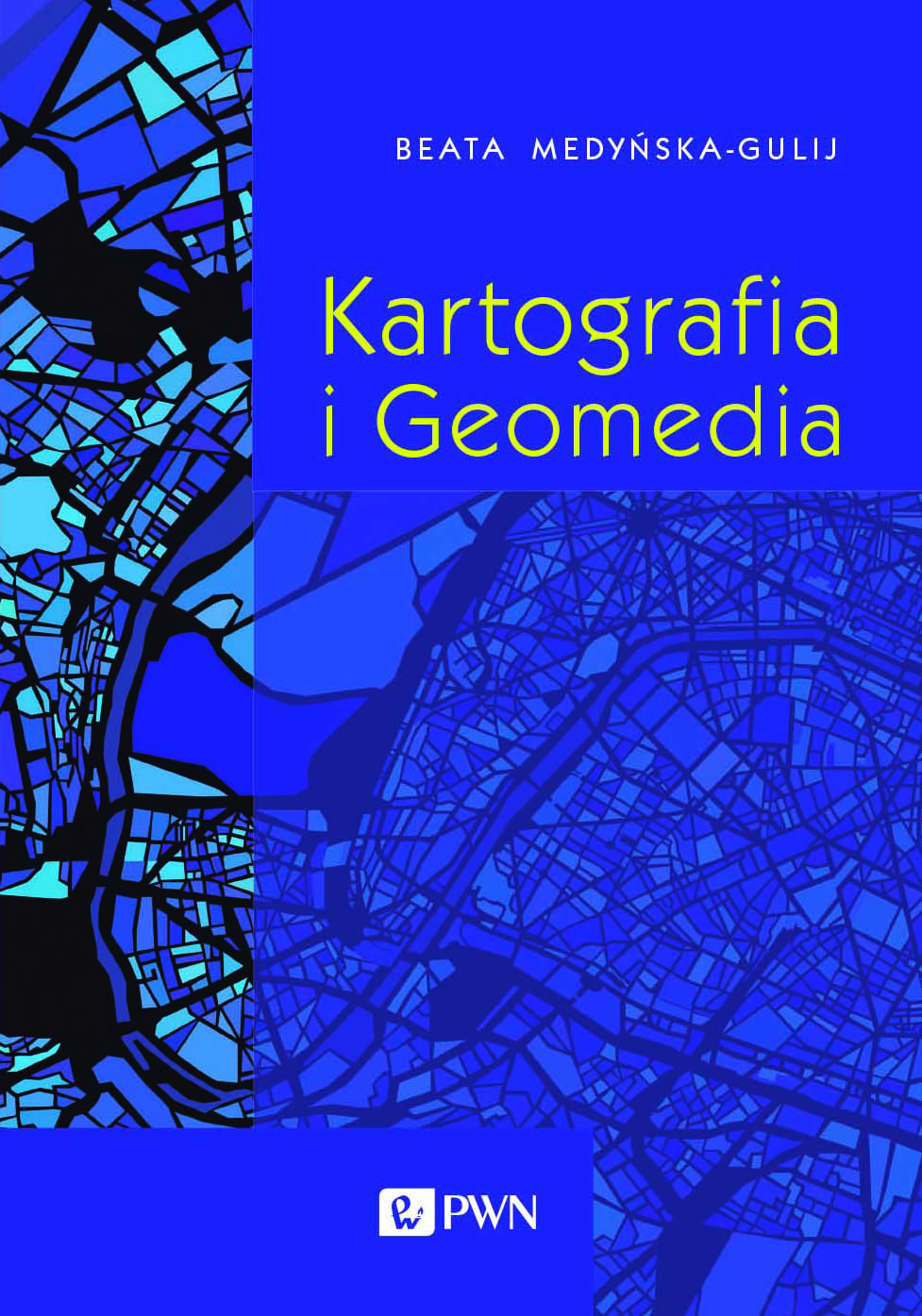
Beata Medyńska-Gulij: Cartography and Geomedia 2021, Wydawnictwo Naukowe PWN, Warszawa, 286. ISBN: 978-83-01-21554-5 (in Polish) |
|
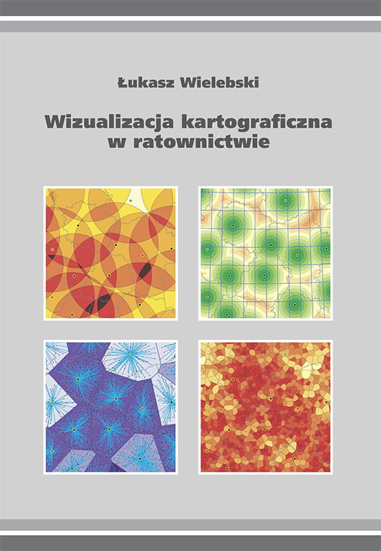
Łukasz Wielebski: Cartographic Visualization in Emergency Services 2019, Bogucki Wydawnictwo Naukowe, Poznań, 116. ISBN: 978-83-7986-223-8 (in Polish) |
|
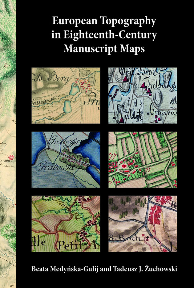
Beata Medyńska-Gulij and Tadeusz J. Żuchowski: European Topography in Eighteenth-Century Manuscript Maps 2018, Bogucki Wydawnictwo Naukowe, Poznan, 215. ISBN: 978-83-7986-204-7 download free private copy |
|
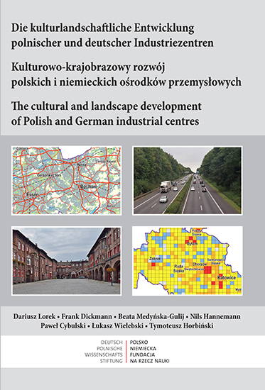
Dariusz Lorek, Frank Dickmann, Beata Medyńska-Gulij, Nils Hannemann, Paweł Cybulski, Łukasz Wielebski, Tymoteusz Horbiński: The cultural and landscape development of Polish and German industrial centeres 2018, Bogucki Wydawnictwo Naukowe, Bochum-Poznań, 96. ISBN: 978-83-7986-195-8 |
|
Beata Medyńska-Gulij: Cartography. Principles and Applications of Geovisualisation 2015, 2017, Wydawnictwo Naukowe PWN, Warszawa, 228. ISBN: 978-83-01-18328-8 (in Polish) with a foreword by the President of the International Cartographic Association |
|
Paweł Cybulski: Impact of Visual Suggestiveness on Noticing Changes by a User of Animated Map 2017, Bogucki Wydawnictwo Naukowe, Poznań. ISBN 978-83-7986-159-0 (in Polish with summary in English) |
|
Łukasz Wielebski: Cartographic Visualisation of Spatial Accessibility in a Monocentric Model 2015, Bogucki Wydawnictwo Naukowe, Poznań, 135. ISBN: 978-83-7986-073-9 (in Polish with summary in English) |
|
Łukasz Halik: The graphical variables of point symbols in mobile Augmented Reality system 2014, Zakład Kartografii i Geomatyki UAM, Poznań, 181. ISBN: 978-83-938868-2-1 (in Polish with summary in English) |
|
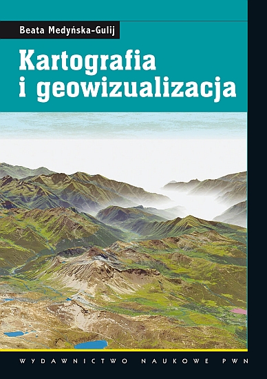
Beata Medyńska-Gulij: Cartography and Geovizualisation 2011, 2012 re-print, Wydawnictwo Naukowe PWN, Warszawa, 216. ISBN: 978-83-01-16716-5 (in Polish) |
|
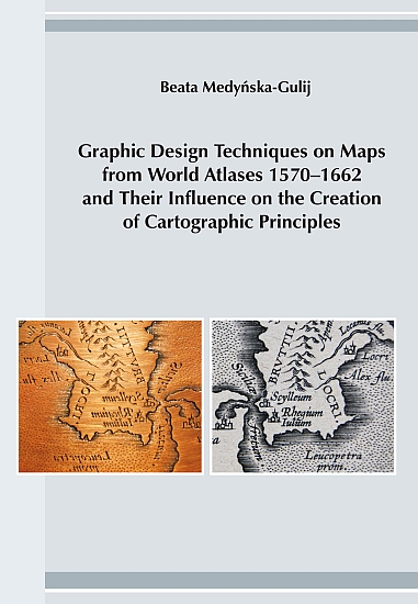
Beata Medyńska-Gulij: Graphic Design Techniques on Maps from World Atlases 1570-1662 and Their Influence on the Creation of Cartographic Principles 2011, Bogucki Wydawnictwo Naukowe, Poznań, 105. ISBN: 978-83-62662-92-0 |
||
 Professor Beata Medyńska-Gulij |
 PhD Paweł Cybulski |
 PhD Łukasz Halik |
 PhD Łukasz Wielebski |
 MSc Krzysztof Zagata |
 MSc Jakub Zawadzki |
 MSc Wojciech Rymarkiewicz |